

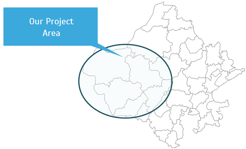
The term Marwar is derived from the Sanskrit word Maruwat, which means the Land of Death. The region comprises seven districts of Jodhpur, Jaisalmer, Jalore, Barmer, Nagaur, Pali, and Sirohi. This constitutes 39.4 per cent of the total geographical area of the state of Rajasthan. The region is characterized by limited seasonal precipitation with erratic distribution, high atmospheric temperatures with large diurnal and seasonal variation, intense solar radiation, strong winds, saline groundwater, and sparse vegetation. Ten per cent of the eco-region is composed of sand dunes, and the other 90 per cent consists of craggy rock forms, compacted-salt lake bottoms, and inter-dunal and fixed dune areas. The climate is extreme, with annual temperatures ranging from near-freezing in the winter to more than 50°C in the summer. The region has one lean year every three years and one year of famine every eight years.
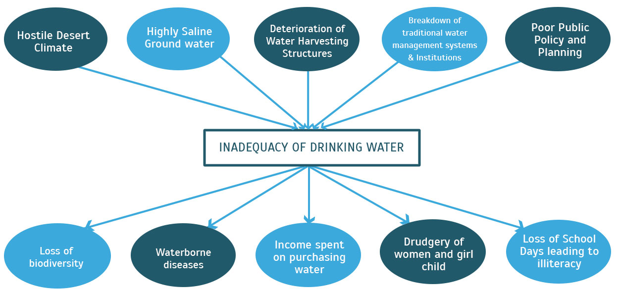
The economy of the Marwar region has traditionally revolved around animal husbandry and subsistence agriculture. Its primary ecological resources have been water bodies, pasturelands, grazing lands, and sacred groves. The land-use classification reveals that there is very little forest cover, less than 1 per cent; barren and uncultivated land accounts for around 10 per cent; pastureland for 4 to 7 per cent; and cultivable wasteland for up to 5 per cent. The net sown area, although more than 60 per cent, is cultivated under rain-fed conditions. Severe ecological degradation and increasing desertification have led to drinking water scarcity, especially for poor communities.
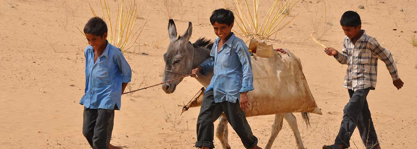
The per capita water availability in the State was 840 m3 in 2001 and it is predicted to be reduced to 439 m3 by the year 2050, (Report of Expert Committee on Integrated Development of Water Resources, GoR, June 2005), while the international benchmark for water scarcity is 1000 m3 (Rakesh Kumar et al).Rainfall in the region is sparse with an annual average of 200mm and ground water is saline and unsuitable for drinking or agriculture. It is estimated that 74 per cent of Indian villages with multiple water-quality problems are in Rajasthan. With the increasing pace of climate change, droughts have become recurring phenomena; on an average, the region witnesses six drought years in a decade. Marwar suffers from severe ecological degradation due to frequent droughts and the absence of a holistic drought-proofing strategy.
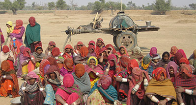
Given the absence of surface water sources, the crisis manifests itself in drinking water scarcity for animal and human populations. Due to the scattered habitation pattern and the desert topography, government water schemes are unable to reach a large population. As per the National Habitation Survey 2003, about 51 per cent of the total rural habitations in the region are not covered by the government's water supply system, 16 per cent are partially covered, and only 33 per cent are fully covered by optimum water supply. Due to the absence of participatory approaches and location-specific strategies, the government schemes have resulted in communities neglecting traditional water-harvesting and conservation systems, which have been developed over centuries and which have helped desert communities to survive. Centralized planning has pushed this traditional knowledge to the margins of development processes, with the result that the region is now facing water shortages.
These challenges could be addressed effectively through a bottom-up approach that acknowledges and incorporates the various coping mechanisms developed over the centuries. Such an approach will help people adapt to the present climate variability based on experience and then develop strategies to initiate responses to future climate variability, and will also contribute to the reduction of poverty among the communities.
